

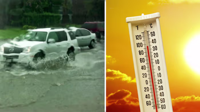
Houston is heading into a wetter, more unsettled stretch as scattered showers and storms return Sunday afternoon. The biggest concern is not just rain, but the chance that slow-moving clusters could trigger street flooding across parts of the region.
The risk does not end after Sunday. Rain and flooding concerns are expected to linger through the early week, with the heaviest impacts likely to overlap with large outdoor gatherings and World Cup activity downtown.
Sunday brings the first round of storms
A passing shower could move through in the morning, but the weather is expected to worsen after noon. The peak window for lightning and heavy rain is forecast between 2 p.m. and 8 p.m., when scattered showers and storms are most likely to intensify.
Anyone attending Fan Fest in Downtown Houston should stay weather-aware and hydrated. According to the FIFA World Cup Houston Host Committee press office, HPD and HFD are monitoring weather at FIFA Fan Festival, and fans will be required to leave if lightning is detected within an eight-mile radius.
Moist tropical moisture fuels the pattern
A low-pressure system in the Bay of Campeche is expected to funnel deep tropical moisture into southeast Texas beginning Sunday. www.click2houston.com reports that the chance of this system becoming a named tropical storm is small, but the rainfall threat remains significant whether or not it develops further.
The setup could produce isolated showers at first, then scattered showers and storms as the moisture spreads into the area. As the day goes on, rain intensity is expected to weaken later in the cycle.
Monday looks like the highest flood threat
Monday carries the strongest warning for Houston, with the potential for a washout and widespread heavy rain early in the day. More downpours are possible in the afternoon, and street flooding is expected to be the biggest hazard.
Tuesday slows the pattern, but rain continues
Tuesday brings one more round of widespread heavy rain in the morning before organized thunderstorms move out of southeast Texas by early afternoon. Rain totals from Sunday through Tuesday are expected to range from 1 inch to 3 inches, with isolated spots possibly reaching 5 to 6 inches.
The damp pattern should hold on through Juneteenth before Houston turns back toward a hot and humid stretch. Even with the storms moving out, lingering moisture is expected to keep rain chances in the forecast through the end of the week.