

Severe weather is pounding the Plains with a rare mix of tornadoes, large hail, damaging winds, and a growing flash flood threat. Forecasters say the same storm setup could keep producing dangerous weather into Sunday night and beyond.
The outbreak has been tied to storms developing along a front stretching from the mid-Mississippi Valley to the central High Plains, according to www.foxweather.com. A confirmed tornado outbreak also broke out in southern Illinois on Sunday.
Multiple threats are building at once
About 1.5 million people are under a Tornado Watch as storms may produce EF-2+ tornadoes and wind gusts topping 70 mph. A Flood Watch is also in place through Sunday night across the region.
The flash flood risk has been raised to Level 3 out of 4, with multiple rounds of thunderstorms expected to drop 1 to 3 inches of rain. In spots where storms repeatedly track over the same areas, localized totals of 5 to 8 inches are possible.
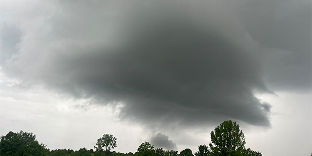
Why the tornado threat spiked
The setup began with leftover rain and thunderstorms from Sunday morning. A large organized storm complex weakened, but it left behind a spinning pocket of low pressure called a mesoscale convective vortex, or MCV.
That MCV helped turn the winds and increase rotation as the atmosphere warmed through the afternoon. www.foxweather.com said the combination boosted tornado potential from 4 p.m. through the evening hours.
As new storms fired up, some became mini-supercells and moved across southern Illinois into Indiana, triggering a wave of tornado warnings. Nearly one out of every three tornado warnings was confirmed, which is why the event is being treated as a tornado outbreak.
Illinois has become an unlikely hotspot
Sunday’s outbreak comes as Illinois keeps rewriting its tornado history. The state has already logged 173 tornado reports this year, which breaks its previous annual record and does not include Sunday’s reports.
Illinois normally averages 54 tornadoes a year, and by this point in June it would usually be far behind classic Tornado Alley states like Texas, Oklahoma, and Kansas. Instead, a persistent atmospheric pattern has pushed severe weather north and left Illinois as the national hotspot for tornadic activity.
More rain and storms are coming
By Monday, the low pressure system is expected to move eastward, spreading heavy rain into the Midwest and then the East. More severe storms could develop, bringing another round of large hail, damaging winds, and possibly tornadoes.
Across the Northeast, rain is expected through Monday and could be heavy at times, especially from Philadelphia to Boston. The same storm pattern that triggered the Plains outbreak is also setting up a broader stretch of unsettled weather well beyond the severe storm zone.