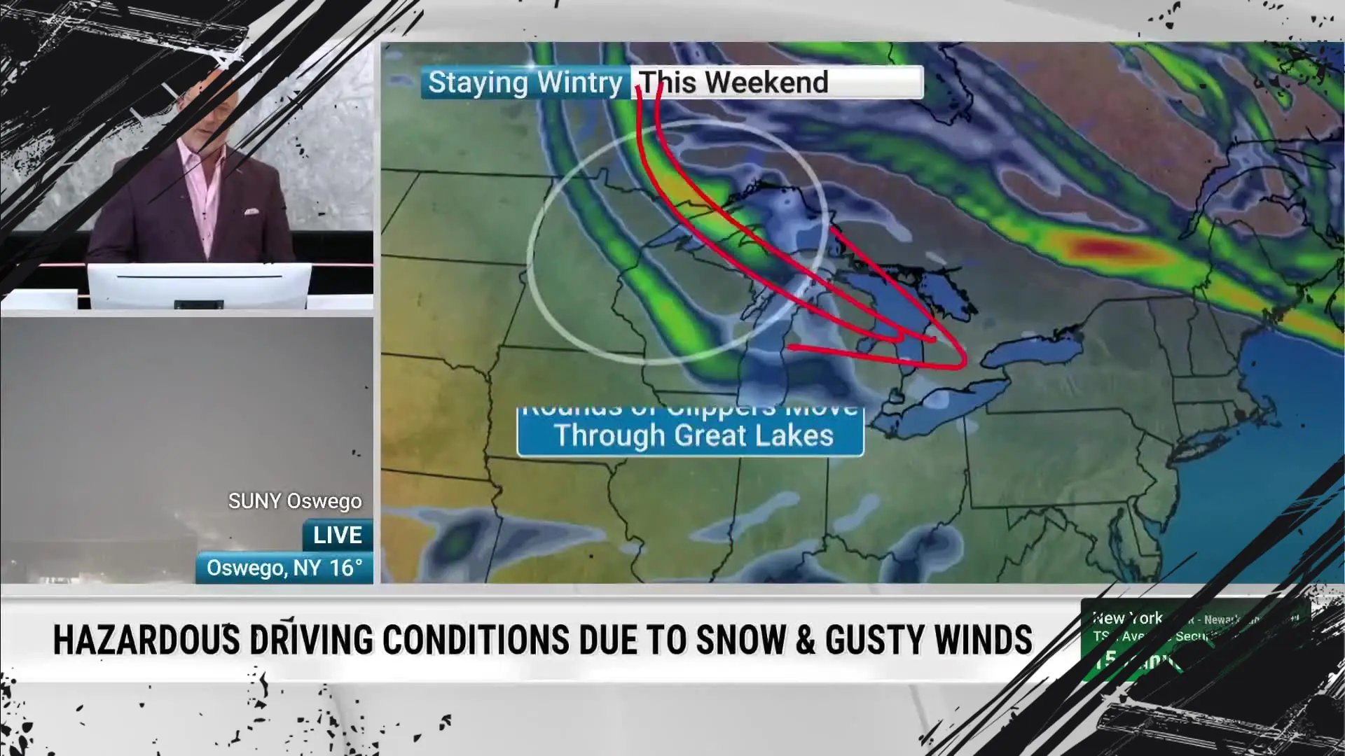
Across New York’s snowbelt regions, significant additional snowfall is forecasted in the coming days. Weather experts warn that several more feet of snow could accumulate, increasing travel hazards and potential disruptions.
The lake-effect snow phenomenon continues to strengthen due to persistent cold air over the Great Lakes. This mechanism causes intense snowbands to develop, dumping heavy snow on communities downwind of Lake Erie and Lake Ontario. Local meteorologists emphasize that this is not an isolated snow event but part of a series of snowstorms impacting the region.
Conditions Driving Heavy Snowfall
Lake-effect snow thrives when cold air masses pass over the comparatively warmer lakes’ open waters. This temperature difference energizes moisture transfer and promotes cloud formation. As wind flows consistently from the northwest, the snow bands remain anchored, continuously delivering heavy snow to the same areas.
According to the National Weather Service, parts of Western and Central New York could see snowfall totals increasing by over two to three feet. Notable cities including Syracuse and Buffalo are forecasted to experience some of the highest accumulations. These amounts amplify existing snowpack, raising concern for snow removal operations and infrastructure stress.
Travel and Safety Advisories
Local authorities have issued warnings for drivers and residents in snowy regions. Roads may become treacherous due to continuous snowfall, icy patches, and possible whiteout conditions. Residents are advised to restrict non-essential travel and prepare for prolonged winter weather conditions.
Emergency management officials recommend maintaining adequate supplies and monitoring updates from trusted sources. Utility companies remain on alert for potential power outages caused by heavy, wet snow loading tree limbs and power lines. Precautionary steps can help mitigate the risk of accidents and service interruptions.
Snowband Characteristics and Snowfall Rates
Lake-effect snowbands often produce localized intense snowfall rates, sometimes exceeding two inches per hour. This rapid accumulation can overwhelm road clearing efforts and reduce visibility abruptly. In some instances, the snowfall includes “thundersnow,” an unusual event where thunder and lightning occur within the snowstorm, indicating strong convective activity.
Forecasters note that the persistence and intensity of snowbands depend on continued cold air advection and lake surface temperatures. As long as these factors align, snowbelt regions will experience periods of heavy snow interspersed with brief breaks.
Regional Impact Overview
- Western New York: Heavy snow continues, especially near Buffalo and Niagara Falls, where accumulations may top three feet.
- Central New York: Syracuse and nearby communities face similar snow totals with ongoing lake-effect bands.
- Northern Tier: Areas near the Adirondacks also receive significant snowfall, though amounts may be somewhat lower.
- Infrastructure: Airports and highways in affected zones could see delays and closures.
The upcoming snowfall event highlights the power of lake-effect snow to dramatically reshape winter conditions in the snowbelt. Continuous monitoring and preparedness remain critical for safeguarding lives and property.
Residents are encouraged to stay connected with official weather updates and adhere to safety advice as the snow accumulates. This winter pattern is expected to persist before eventual warming trends return to the region.
Read more at: weather.com