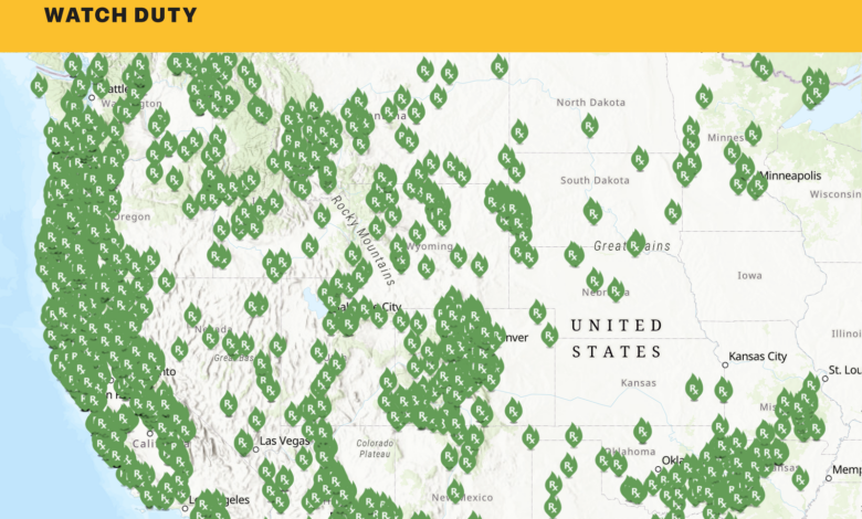
Watch Duty is broadening its role in public safety by adding flood monitoring across the United States. The app, long known for wildfire tracking, now brings multiple flood-related signals into a single map and offers the feature free to all users.
This expansion matters because flood information is often spread across several official channels. Alerts from the National Weather Service, FEMA, NOAA, and other agencies can be difficult to find quickly or interpret clearly during urgent situations.
One view for flood risks
Watch Duty combines official alerts, rainfall data, and river gauge readings so users can follow flood risk more easily. The app presents the information in simpler language, helping people understand conditions in their area without moving between services.
The coverage is not limited to one kind of flooding. Watch Duty says it includes several high-risk flood scenarios, along with related dangers such as dam or levee failures and bridge collapses that people may need to avoid.
That wider scope turns the flood feature into more than a basic alert list. It also gives users a clearer picture of what may affect their homes, neighborhoods, or travel routes as conditions change.
Verified by its own reporting network
To support the system, Watch Duty relies on its own reporter network. The group includes active and former first responders, emergency services professionals, and dispatchers.
After reviewing the data and verifying conditions on the ground, the information is displayed in the app. Flood markers appear in blue, making them easier to identify on the map.
That verification layer is especially useful because floods can develop quickly and shift in a short time. It helps make official data easier to understand while keeping the operational context intact.
Custom river gauge alerts
One of the most practical additions is support for river gauges. Users can set their own threshold on a gauge that matters to their area, then receive a notification when the level reaches or exceeds that point.
The feature is available in different tiers. Free users can set alerts on one river gauge, while paid users can configure notifications on several gauges at the same time.
Even so, the core flood tracking remains free. That means the basic ability to view flood information nationwide is not locked behind a subscription.
Available nationwide on multiple platforms
The flood tracking coverage applies across the United States, which is important because floods can hit many types of areas, from river-adjacent communities to places affected by heavy rain.
Watch Duty is available through the Google Play Store, the Apple App Store, and directly in a browser. That wide access makes the new feature easier to use when people need fast updates in one place.
The expansion shows how Watch Duty is moving from a wildfire-focused app to a broader hazard-monitoring platform. By simplifying official data and placing it on one map, the company is addressing a familiar problem: important information exists, but it is not always easy to reach when it matters most.