

Parts of California continue to face severe flooding risks as a series of intense storms deliver heavy rain inland from the Pacific Ocean. These extreme weather events have shattered daily rainfall records in multiple areas, while significant snowfall impacts the Sierra Nevada mountain range.
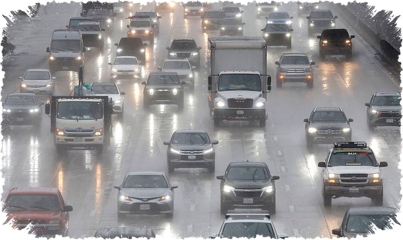
The Los Angeles Basin received between 1 and 2 inches of rain, and the Coastal Range north of the Bay Area saw 3 to 5 inches, triggering flash floods and urban flooding in some neighborhoods. In Westwood, water levels rose mid-door panel on cars, and mudslides forced the closure of sections of Topanga Canyon Boulevard.
A “low-level flash flood threat” spans California’s coast from just north of the Bay Area down through San Diego. Authorities have issued flood watches and warnings to help residents prepare for ongoing hazards as rain persists.
Meteorologists explain that the storm pattern is driven by an atmospheric river, delivering vast moisture across the region. Los Angeles County even experienced a Severe Thunderstorm Warning for only the fifth time in the past eight years, highlighting the rarity of such intense events there.
New daily rainfall records were established in Stockton (1.81 inches) and Modesto (1.65 inches), emphasizing the storm’s unprecedented strength. An additional surge of rain is forecast through Tuesday morning especially for San Francisco, followed by intense storms impacting Los Angeles later that night.
Heavy snowstorms are extending across Northern California’s mountain ranges into the southern Sierra Nevada. Wind gusts between 45 and 55 mph are creating whiteout conditions in northern mountain passes, prompting officials to discourage travel. Part of Interstate 80 was shut down due to hazardous driving conditions caused by blowing snow and strong winds.
Snow totals have exceeded 30 inches in many locations, with some areas reporting over 40 inches through recent Sunday measurements. The higher elevations of the Northern Sierra could receive up to 8 feet of snow through Friday, while Lake Tahoe and the San Gabriel Mountains might see as much as 4 feet.
Snowfall is expected to remain primarily above 3,000 feet in Southern California but could drop below 1,000 feet in Northern California, bringing chances of rare flurries in areas like Redding, which has not recorded measurable snow in several years. Drivers on Interstate 5 near the Grapevine should also anticipate possible closures due to snow.
This series of storms arrives as a dip in the jet stream opens the pathway for moisture and cold air to sweep across the West Coast, ending weeks of dry conditions. The snow accumulation will replenish California’s critical snowpack and aid snow-starved Rocky Mountain regions farther east.
Snow levels in Utah are currently at historic lows, with water content near just 6 percent of normal—numbers not seen since the early 1980s. This deficit threatens water availability for drinking and agriculture in coming months.
California’s winter snowpack serves as a vital natural reservoir, gradually releasing meltwater through spring and summer. The current storms will play a key role in restoring water supplies that support communities and ecosystems throughout the West.
Residents are advised to monitor official weather information and exercise caution when traveling in impacted areas, especially near flooded roads or mountain passes experiencing heavy snow and high winds.
Continued updates from weather agencies will help guide preparations as more rounds of precipitation affect California over the week.