


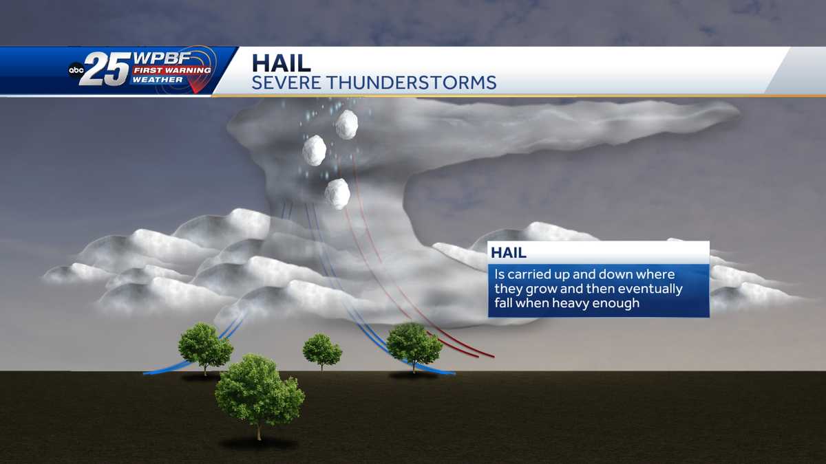
Strong to severe thunderstorms moved into Southeast Michigan on Tuesday afternoon, prompting the National Weather Service to issue severe thunderstorm warnings and special weather statements across several counties. Forecasters said the main threats included damaging wind gusts, large hail and heavy rain as storms pushed northeast through the region.
The weather service said the most likely severe-weather window ran from 2 p.m. to 6 p.m., with conditions expected to improve by around 7 p.m. Officials also urged residents to keep multiple ways to receive warnings because storms could intensify quickly during the evening commute.
Warnings spread across Metro Detroit
A severe thunderstorm warning covered parts of Oakland County, including Pontiac, Troy, Rochester Hills, Birmingham, Southfield, Farmington Hills, Wixom and Lake Orion. That warning was set to remain in effect until 4:45 p.m. and included the risk of wind gusts up to 60 mph and hail the size of quarters.
Another warning was issued for parts of Wayne County, including Detroit, Dearborn, Livonia, Westland, Taylor, Romulus, Hamtramck and New Boston. It remained in effect until 5 p.m. and carried the same forecast of wind gusts up to 60 mph and quarter-sized hail.
A special weather statement also covered parts of Macomb County, including Warren, Sterling Heights, Shelby Township, Utica, Fraser, Richmond, Armada, New Haven and New Baltimore. That alert stayed in effect until 5:15 p.m. and warned of wind gusts up to 50 mph, with no hail expected.
Storm line stretched across the region
Radar showed a broken line of storms extending from near Ann Arbor through Livingston and Oakland counties and toward the Thumb region. Forecasters said more warnings could be issued as the storms strengthened and moved east during the commute.
Communities in Lapeer and St. Clair counties, including Almont, Capac, Imlay City and Yale, also faced the chance of wind gusts up to 50 mph and hail ranging from penny-sized to as large as a quarter. The weather service said the system was moving from southwest to northeast at about 40 to 45 mph ahead of an approaching cold front.
What forecasters said to expect
Meteorologists said the setup could support a corridor of storms with frequent lightning, isolated hail and damaging winds. The tornado threat was listed as minimal, but the weather service said isolated severe storms remained possible across the region during the afternoon’s peak heating hours.
The severe thunderstorm watch covered much of southeast Michigan until 7 p.m. Tuesday. Residents were advised to stay alert for rapidly changing conditions, especially as the storms moved through the area and into the early evening hours.