

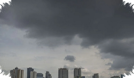
A sky that turns dark, wind that picks up, and thunder that rolls on for a long time do not always lead to rain at ground level. In some atmospheric conditions, the storm releases energy overhead while the lower air remains too dry to let the rain survive the trip down.
That is why a scene can look severe for several minutes and then end with no wet pavement at all. The system may already be shedding electricity and cooling the air, yet the moisture never reaches the surface in a useful form.
When rain starts, then disappears before landing
One of the clearest explanations is virga, a situation in which rain falls from a cloud and evaporates before it touches the ground. This usually happens when the cloud looks dense and dark, but the air below it has low humidity.
As the droplets evaporate, they absorb heat and trigger evaporative cooling. That process can make the air near the surface feel gustier and more unsettled, adding to the impression that a larger storm is arriving.
Thunder can sound serious without guaranteeing rainfall
Long-lasting thunder usually signals strong electrical activity inside the cloud. Even so, loud thunder does not automatically mean the cloud contains enough water to produce rain at the same place.
In a dry thunderstorm, the atmosphere is unstable enough to support lightning, but the water content is too limited to survive passage through the dry lower layer. The result is a loud electrical display above, while rain either fails to fall or appears only lightly in another area.
Strong wind can break the process apart
Sudden gusts before the sky clears are often tied to a gust front, the leading edge of colder air pushed out by a storm system. This outflow can spread quickly along the surface and disrupt a cloud that is still trying to organize itself.
If the wind becomes too strong, the cloud structure may break apart before it reaches the level of saturation needed for rain. In other situations, steering winds aloft move the storm cell elsewhere, shifting the rainfall away from the place where the dark sky is being observed.
Why the sky can look threatening, then brighten again
The difference between a real rain event and a failed one often comes down to low-level moisture, cloud stability, and how the air mass is moving. When rain does reach the ground, the air below is usually already moist and the cloud remains more concentrated.
When rain fails, the lower air is dry, the cloud is easier to scatter, and the storm can lose shape before enough water survives the descent. That is why the sky may seem ominous at one moment and then open up again only minutes later.
The danger does not disappear just because the ground stays dry
A failed rain event still carries risks. Dry lightning can strike even when the visual cue of falling rain is absent, which makes the danger easier to underestimate.
Wind without rain can also carry dust and pollutants toward the surface. After the storm weakens, the air often feels cooler and the sky can look cleaner because earlier gusts have already swept particles away.