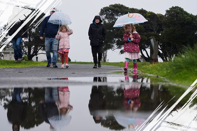
California and much of the western United States will continue to experience stormy and wet conditions through early this week. AccuWeather meteorologists warn that coastal and northern California should remain prepared for frequent rain and mountain snow through Monday night as a series of storms impact the region.
Rainfall will be particularly heavy across central and northern parts of California. Totals exceeding 2 to 4 inches are anticipated, with localized flooding risks in mountainous, urban, and poor-drainage areas. Mountain elevations will also see significant snow accumulation, especially in the Sierra Nevada where multiple feet of fresh powder are expected.
Since mid-October, California has received well above-average precipitation. Downtown Los Angeles has recorded nearly 14 inches of rain, corresponding to more than 340% of the historical average, while San Diego’s totals stand at roughly 230% of normal. Even generally wetter cities like San Francisco are experiencing above-average rainfall this season.
Continued Impact on Transportation and Safety
Travel conditions will remain challenging in higher elevations, particularly along Interstate 80 through the northern Sierra Nevada. Ski resorts are benefiting from abundant snowfall, but motorists and travelers should anticipate delays and hazardous roadways. Flooding concerns persist for urban zones and areas prone to poor drainage, urging residents to stay vigilant.
Storm Track Shifts Northward Later This Week
The wet weather is expected to ease by midweek as the storm track slowly moves northward. This shift will bring drier conditions to much of California, especially south of the Bay Area. High pressure will build over the West, helping to reduce precipitation for the latter half of the week.
In contrast, the Pacific Northwest will continue to face unsettled weather conditions. Washington and Oregon can expect more rain and mountain snow through midweek, with some areas in the Cascades receiving multiple feet of snow. This may cause travel disruptions on major routes like US Highway 2 and Interstate 90.
Key Weather Highlights for the Week:
-
California:
- Persistent rain and snow through Monday night.
- Flooding risks in mountainous and urban areas.
- Snowfall impacting mountain passes, especially above 6,000 feet in the Sierra Nevada.
-
Pacific Northwest:
- Stormy conditions continue into midweek.
- Multiple feet of snow possible in the Washington Cascades.
- Potential travel difficulties through the Oregon Cascades.
- Late Week Outlook:
- Building high pressure will dry out much of California.
- Continued wet and snowy weather in the Northwest.
- Possible snow at lower elevations near Seattle due to chillier air.
While widespread flooding is not currently expected, localized ponding and small stream overflow remain concerns through the storm period. By the following week, increasing high pressure may usher in a period of prolonged dry weather across much of the West, including the Pacific Northwest. Mobility and safety advisories will remain essential as this dynamic weather pattern progresses.
Read more at: www.yahoo.com